Topo Version of 2024 Public Land Atlas
Topo Version of 2024 Public Land Atlas (Web Version)
Topo Version of 2024 Public Land Atlas (Web Version)

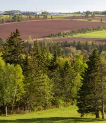
Prince Edward Island (PEI) is known for its patchwork of farm fields, sand dunes, and red sandstone cliffs but; in fact, contains more forest than any other landscape. Unlike the rest of Canada, most of PEI’s forests (more than 85%) are privately owned, resulting in unique...
The Orthophoto Map Comparison displays satellite images of Prince Edward Island in 2000, 2010 and 2020. You can view images from two different years concurrently to visualize how the PEI landscape has changed over time. Select an orthophoto year on the drop-down for each image...
The Aerial Photo Index Map displays multiple years of land images from the Corporate Land Use Inventory Project. To view images: Click on the date box at the lower right corner to select the image series from a specific year. Click a dot on the Island map to select the image of a...
2002 Corporate Land Use Inventory Report: Forest Summary