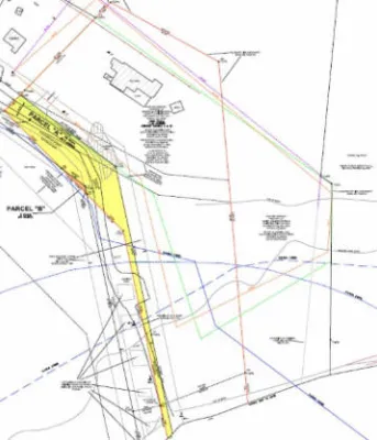
Bruce Point Road survey map
Survey map to show the boundaries of the end of the Bruce Point Road.
Survey map to show the boundaries of the end of the Bruce Point Road.

Surveyors have confirmed the boundaries of the Bruce Point Road and the final survey plan establishes permanent public access to Boughton Island. Significant evidence was gathered from various sources including historical records, land title research, surveys, aerial photography...
Le quai de Basin Head est fermé temporairement pour des raisons de sécurité. Lorsqu’ils se préparaient à draguer le chenal, les ingénieurs de ponts ont remarqué qu’il y avait des dommages structuraux sous le quai et ont jugé qu’il n’était pas sécuritaire. « La sécurité demeure la...
Les arpenteurs ont confirmé les limites du chemin Bruce Point et le plan d’arpentage final précise qu’il y aura accès public de façon permanente à Boughton Island. « Ce chemin a été utilisé pour se rendre à la plage depuis 1935 et notre travail confirme qu’il s’agit d’un chemin...